Create maps from different kinds of data using this program.
Visualizes your tracks on Google Maps showing coordinates like latitude.
C-GEO enables importation of survey data from geodetic instruments.
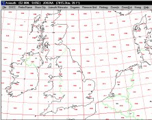
It plots a world map in either azimuth (beam heading) or Mercator projections.
It can analyze and trace all network applications on the fly